Mapping the World's Holotypes
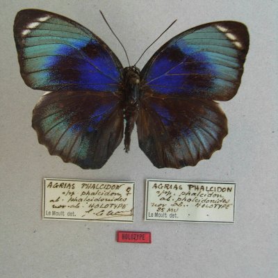
PublicHolotypes are among the most important specimens preserved in natural history collections. They are the single specimens designated by authors as the name-bearing reference for newly described species, making them fundamental to taxonomy and our understanding of global biodiversity. The geographical information associated with holotypes is particularly valuable. The original collection locality provides a precise historical reference for the occurrence of a species and can contribute to studies of biogeography, ecology, biodiversity and changes in species distributions. Many holotypes were collected decades or even centuries ago, and their localities are often recorded only as historical place names or descriptions on specimen labels. Recovering these locations can therefore add an important geographical dimension to some of the world's most scientifically significant biodiversity records. This project aims to map the original collection localities of holotypes, connecting the specimens that define species with the places where those species were first discovered. photo: Robert Nash Curator of Entomology Ulster Museum, CC BY-SA 3.0, via Wikimedia Commons